Watersheds
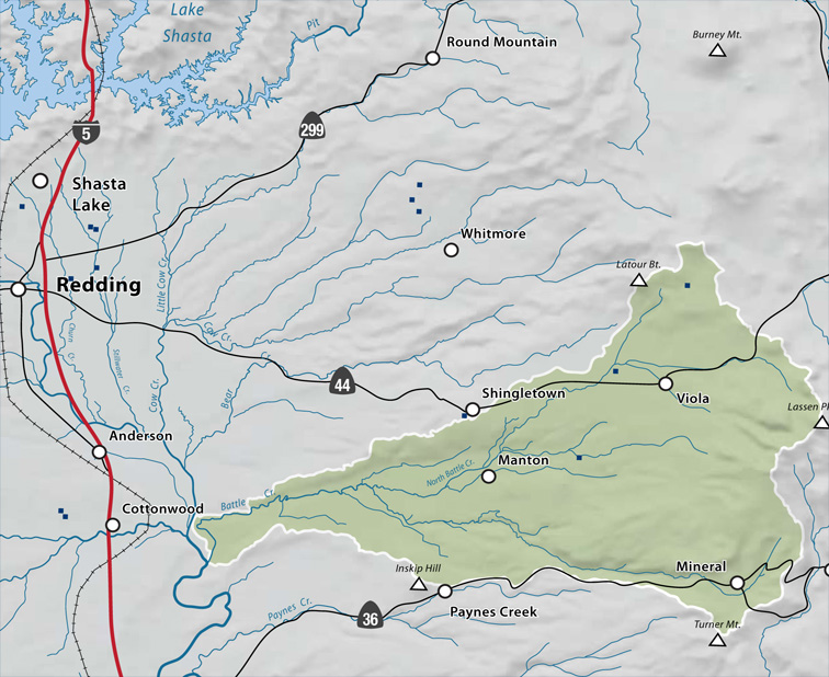
Battle Creek Watershed
A prominent feature of the upper watershed is the Lassen Volcanic National Park, established in 1916 as this country’s thirteenth National Park. It includes four major geophysical regions; four National Recreation Trails; the world’s largest plug dome volcano; a 900-foot escarpment created from a fault fracture; habitat for 360 species of wildlife including bald eagle, osprey, black bear, mule deer, and rainbow trout; and expansive vistas of sage, pine, fir, and Sierra mountain streams.
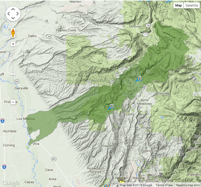
Deer Creek Watershed
Land in the Deer Creek Watershed is a mix of public (USFS) and private ownership. The 65,000 acres of Lassen National Forest in the upper watershed are popular for hunting, fishing, and hiking, and several public campgrounds are located along Deer Creek. The upper watershed also has large acreage of private commercial timberland; mid- and lower-elevation lands are dominated by large private ranches. On the valley floor near the Sacramento River, irrigated agricultural land is mostly in pasture and orchard crops.
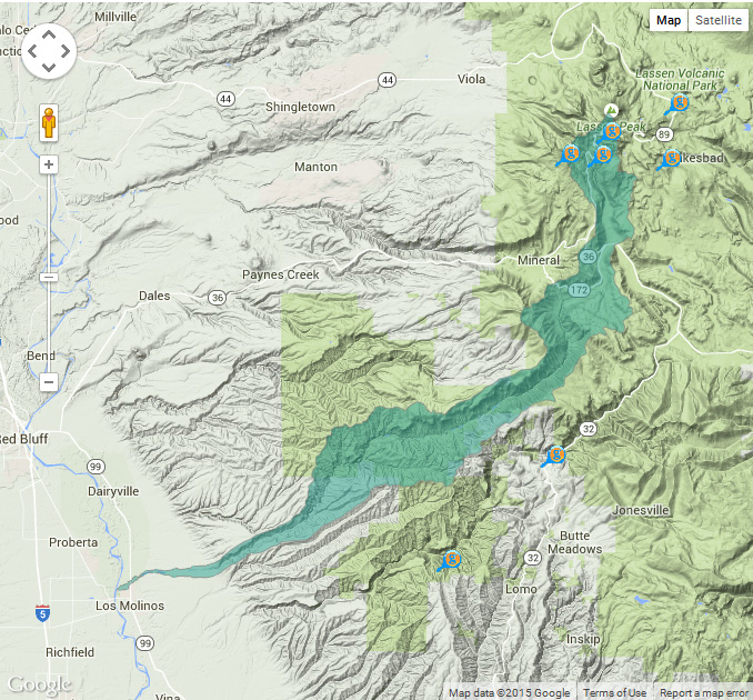
Mill Creek Watershed
Lassen National Forest, Lassen Volcanic National Park, and the state-owned Tehama Wildlife Area constitute the majority of the public land holdings in the watershed. The Tehama County General Plan lists five major land use designations in the Mill Creek Watershed; timberlands, grazing lands, agricultural lands, recreational lands, and residential lands.
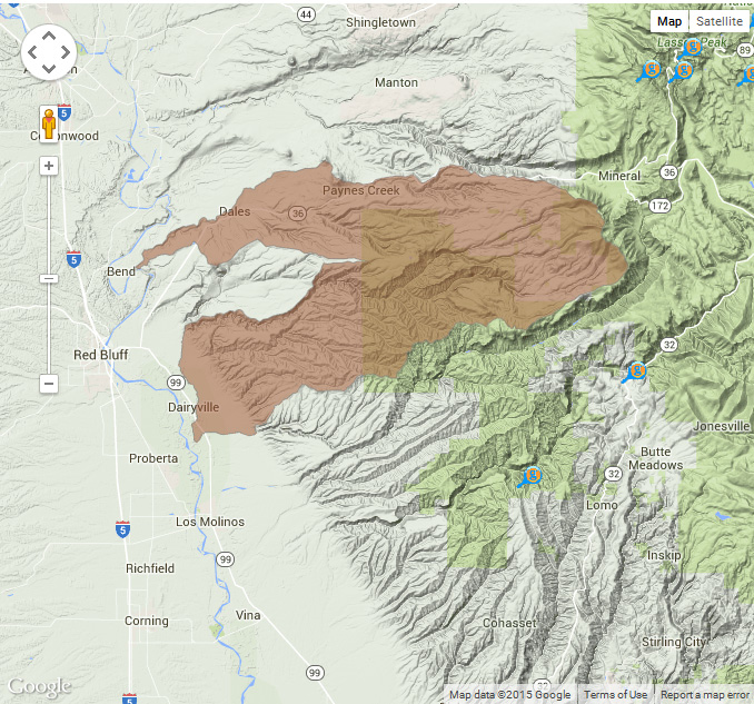
Tehama East Watershed
Many northern California cattle ranchers use Tehama County as winter grazing land. Cattle that are summered in the mountain meadows are brought to Tehama East Watershed foothills to graze during the winter and spring. Irrigated agriculture is predominantly orchard crops that include walnuts, prunes, almonds, and olives. Rural communities include Dairyville, Lyonsville, and Paynes Creek.
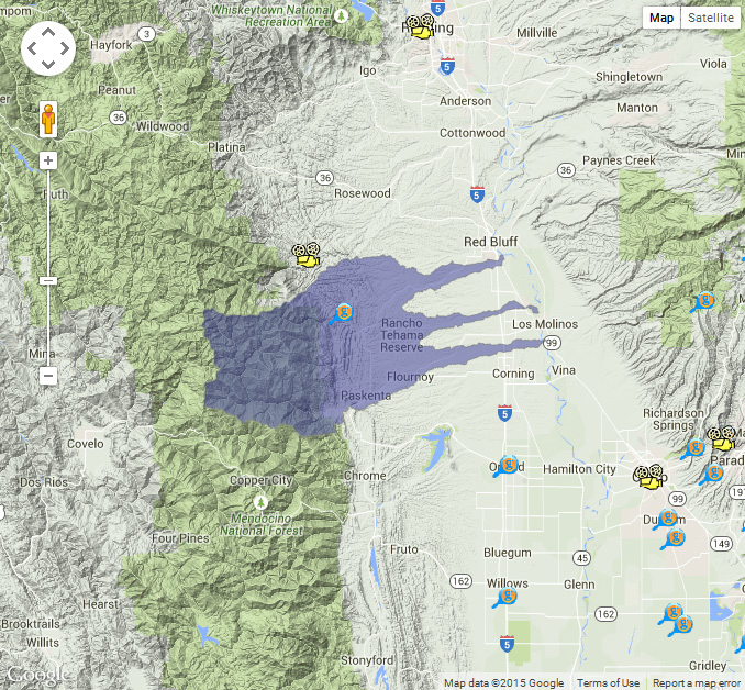
Tehama West Watershed
Rural lifestyles and low population density (approximately 5 persons per square mile) generally characterize the watershed. The largest community is Red Bluff with a population of 13,000. Other towns include Corning, Tehama, Gerber, and Paskenta. These population centers are mostly along the I-5 corridor. Ranching, farming, and timber are the primary resource activities throughout the watershed. Cattle, pasture and hay, orchards, and some grain crops dominate agricultural land use.
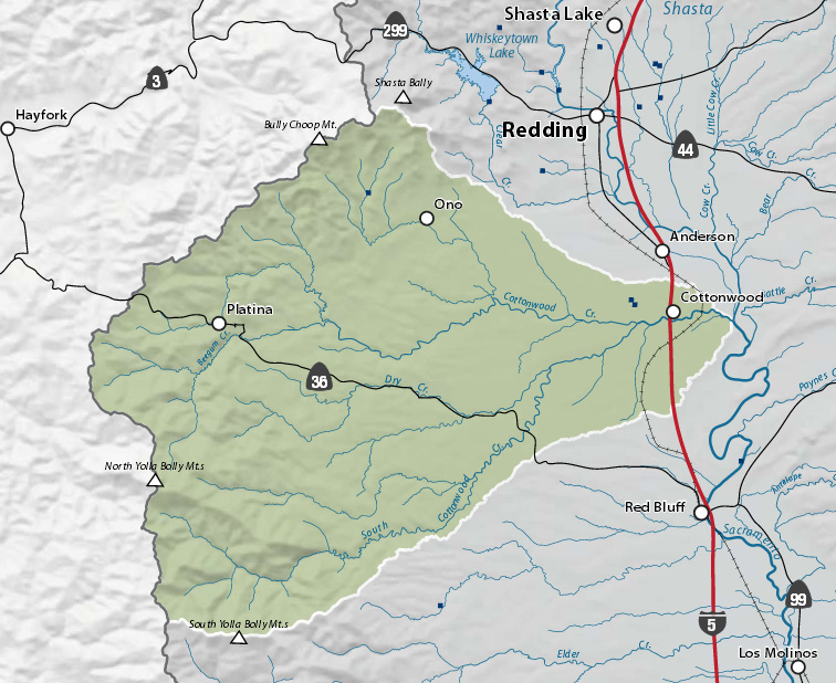
Cottonwood Creek Watershed
In general, agriculture, timber, and public lands cover most of the land area in this watershed. The town of Cottonwood is the major urban center (population 2,500), and there are several other smaller, unincorporated community centers (Igo, Ono, Beegum, Platina, and Bowman).