County Maintained Levee Systems
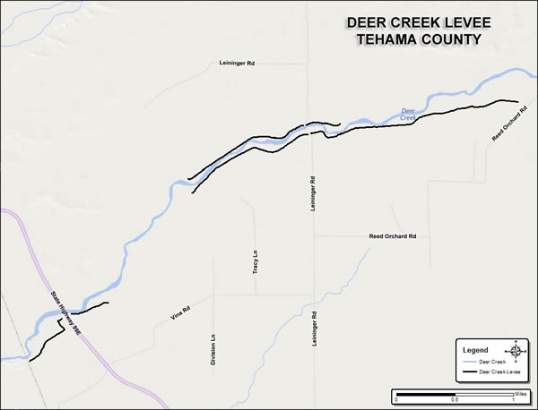
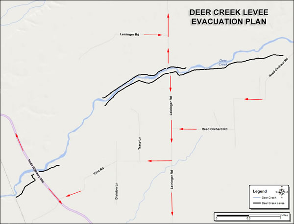
Deer Creek Levee System
The Deer Creek levee system includes 4 systems near Vina, CA that flow into the Sacramento River. The levee systems were primarily constructed by locals for the purpose of flood control beginning in the late 1940s. In addition to the channel improvement work performed for approximately 5.4 miles of the existing levees by the US Army Corps of Engineers (USACE), new levees were constructed during the 1958 improvements.
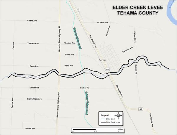
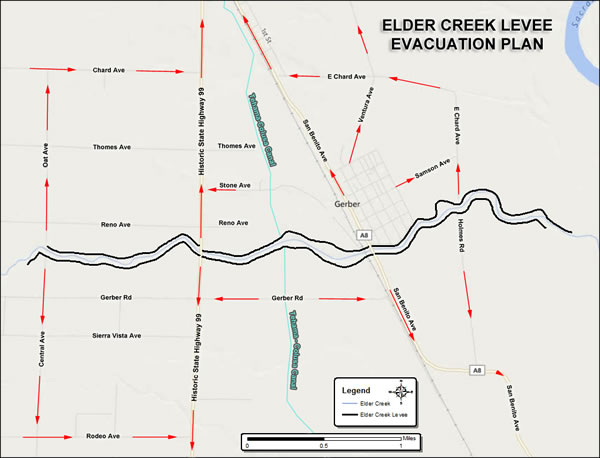
Elder Creek Levee System
The Elder Creek levee systems are a portion of the Sacramento River and Major and Minor Tributaries Project. The Sacramento River and Major and Minor Tributaries Project is comprised of levees, weirs, pumping stations, and bypass channels on the Sacramento River and associated tributaries. The Elder Creek levee systems are located west of the Sacramento River along Elder Creek near Gerber, California.
Private Levees
Private levees are to be repaired under the responsibility of private parties. It is not the responsibility of Tehama County to repair private levees. Please review District Resolution 7-1995 establishing policy for the repair of damaged levee and stream bank protection projects.
Flood Fight Methods
The 'Flood Fighting Methods' outlined in this booklet have proven effective during many years of use by DWR, United States Army Corps of Engineers, and local agencies on flood-related emergencies. This handbook is published by the DWR Flood Operations Branch and is designed to be used with the Flood Fighting Methods class.